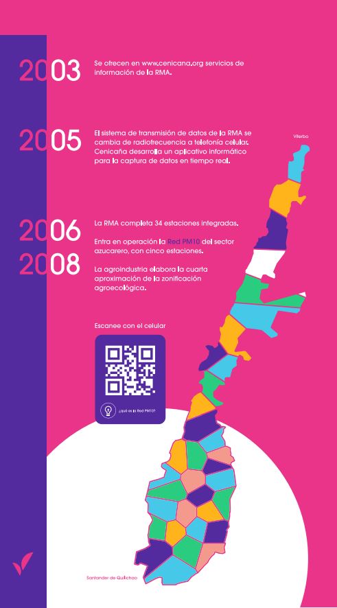
In September 1993, exactly 30 years ago, 12 meteorological stations located between the municipality of Santander de Quilichao, in Cauca, and Viterbo, in the department of Caldas, came into operation.
With these stations, meteorological data began to be recorded for the entire Cauca River valley.
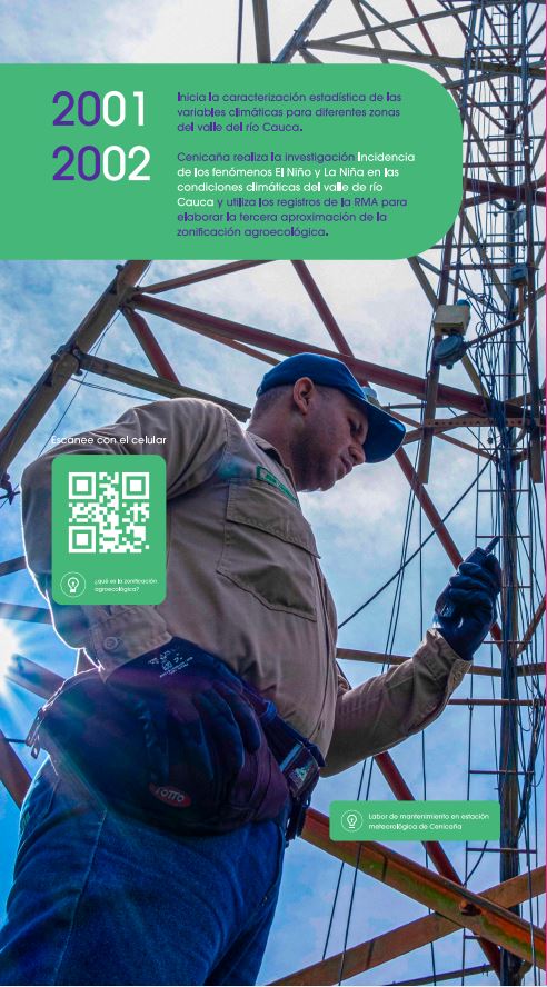
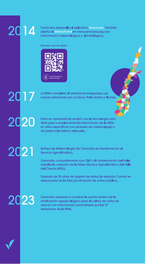
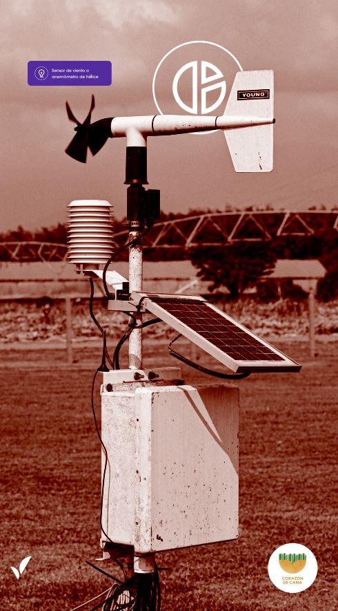
By 2023, with 38 meteorological stations (one station out of service due to public order situation) and 30 years of operation, the Automated Meteorological Network (RMA) of the Colombian sugarcane agroindustry adds more than ten million daily and hourly records. of the climate in this region of the country.
“The RMA began three decades ago as a need for agribusiness to reduce the impacts associated with burning cane. As a result of the information collected in 2014, an application was developed to plan this work. The Network continued to evolve technically and grew and thanks to this it is now possible to carry out climatological analysis,” says the general director of Cenicaña, Dr. Freddy Fernando Garcés.
Climatological analyzes allow us to know the long-term climate characteristics of a region, which is key to making decisions that mitigate the impacts of climate change on the territory.
Precisely today, through the Cauca Valley Agroclimatic Technical Roundtable (MTA), Cenicaña shares information, knowledge and experience that also serves other productive sectors located in the Cauca River valley.
The RMA is also one of the five networks that support the process of transforming the sugarcane sector into a 4.0 agroindustry, with more sustainable production processes and smarter factories.
Freddy Fernando Garcés, General Director of Cenicaña.
Ready to go through a story with the sweet taste of sugar cane?
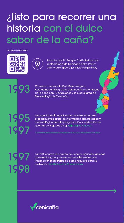
1. Beginnings of the RMA by Cenicaña
- 1. Beginnings of the RMA
- 2. What is RMA?
- 3. Agroecological zoning
- 4. What is the PM10 Network?
- 5. Sinpavesa
- 6. Meteoportal


