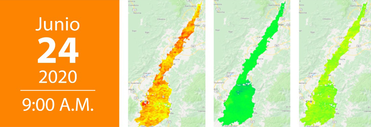
Introduction to UAV image processing | Webinar

Webinar Cali, Colombia. (UTC -5), Colombia

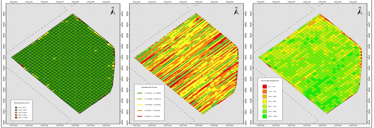
During the Webinar, we will talk about: Introduction to image processing Derivative products with images obtained with UAV Project: Furrowing and Depopulation Lines with images Go to registration page Presenter Michael Andrés Arredondo. Topographic Engineer, Remote Sensing Analyst. Agronomy program, Cenicaña

Use of satellite images and images taken with Drones. | Webinar

Webinar Cali, Colombia. (UTC -5), Colombia

During the Webinar, we will talk about: Introduction to image processing Derivative products with images obtained with UAV Project: Furrowing and Depopulation Lines with images images for monitoring vegetation. Go to registration page

Scroll to Top
Search