


- This event has passed.
Introduction to the processing and analysis of satellite images using Google Earth Engine (GEE) | Webinar
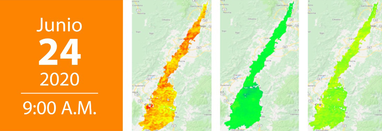
24 June, 2020 | 9:00 am - 10:00 am
During the Webinar, we will talk about:
- Vegetation monitoring images.
Ir a registration page
Presentador

Mario Andres SotoValencia.
Topographic Engineer, Remote perception analyst.
Agronomy Program, Cenicaña