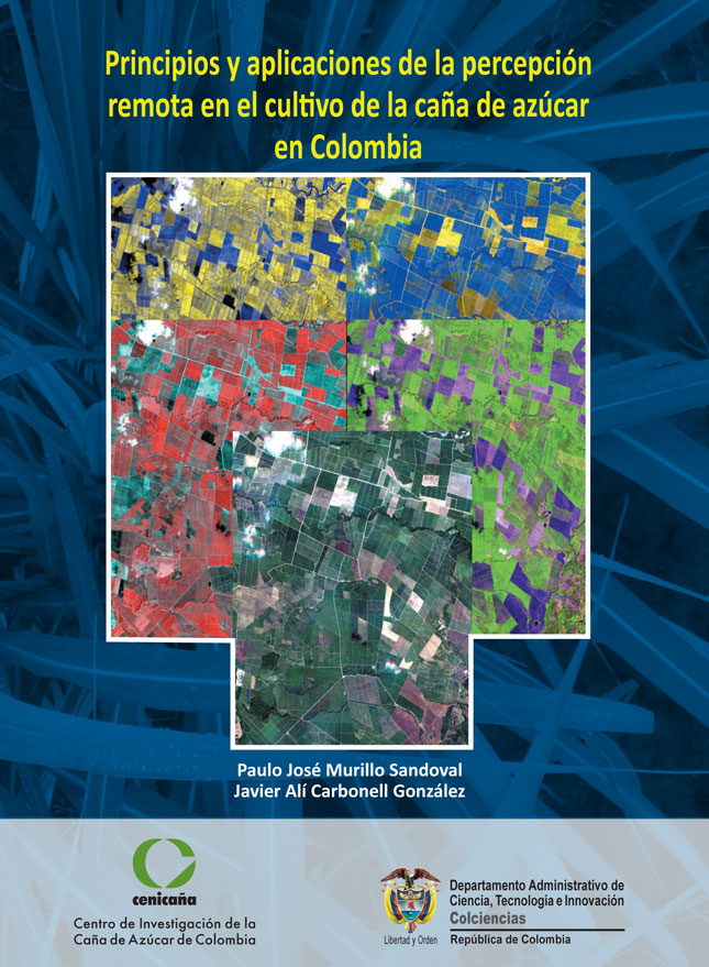
The potential of remote sensing application in the agrarian world and particularly in the Colombian sugar agro-industry begins with the exploration of the utilities of the available sensors to obtain representative images of the terrestrial space, in this case of the lands dedicated to the cultivation of sugar cane. sugar in the Cauca river valley.
Thanks to the support given by Colciencias to the research proposal formulated by Cenicaña in 2009, sugar farmers now have information services about the state of development of sugarcane and practical methodologies that facilitate the temporary monitoring of the response of the crop. facing different management practices and environmental conditions.
The use of remote sensing in combination with global positioning systems (GPS) and geographic information systems (GIS) constitutes an opportunity to improve the competitiveness of agricultural production by ensuring the sustainable development of the activity, for which it is necessary to train those who exercise their competences based on the information derived from this type of tools, as well as informing decision makers about the profits.
With the publication of this book, we hope that many farmers will be interested in learning about remote sensing and its applications, while we expect to advance as a productive sector in the management of basic and applied knowledge related to agricultural and agronomic management. of sugar cane cultivation based on information from remote sensors. Applications described for current use include variety identification, crop monitoring, and productivity prediction.
Cenicaña continues the investigations in this regard according to the information needs of the sugar cane growers for the sustainable management of the lands under their care in the Cauca river valley.
Álvaro Amaya Estevez
CEO, Cenicaña


