


The experience gained in recent years in the Aguaclara River sub-basin, in Palmira, is being replicated in other areas of the Cauca River Valley thanks to the commitment of the environmental and community authorities.
In 2013 Cenicaña reached the upper part of the Bolo River, in Palmira, to monitor water levels, sediments and contamination of the Aguaclara river sub-basin.
Many years will pass before having enough data with which to demonstrate the true impact of the conservation actions carried out through the Fundación Fondo Agua por la Vida y la Sostenibilidad (FFAPVS); But the results of this experience are already beginning to replicate in the upper part of the Palo River.
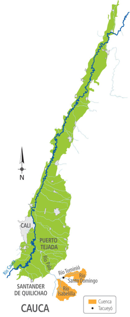
Exactly in the Isabelilla, Santo Domingo and Tominió sub-basins, Tacueyó reservation, Cenicaña will begin to carry out the same hydrological monitoring, but this time under the leadership of the Corporation for the Integrated Management and Recovery of the Río Palo Basin (Corpopalo); the support of the Landcare entity, from New Zealand; and the participation of the indigenous community of the municipality of Toribío.

“Here we have the advantage that we are not starting from scratch. We brought the experience gained in another high part to start monitoring the variables we need and thus learn more about the territory and know what we should do for environmental management and conservation, to improve the quality of life of the community and help implement a system early warning, important for community trout production, "says Fanny Hoyos, Cenicaña agricultural engineer in charge of monitoring.
In 2015, five years after Corpopalo and FFAPVS began their conservation actions in the area, the need to measure their impact was identified. This is how the approaches to start this project to measure meteorological and water variables began.
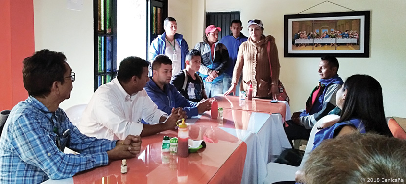
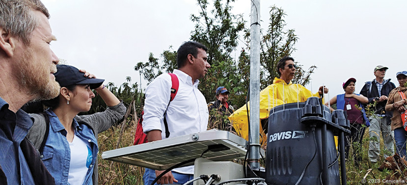
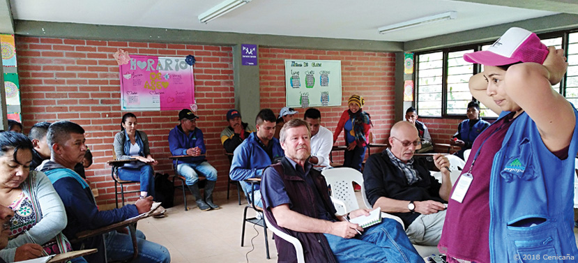
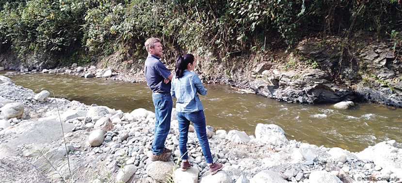
But only this year, with the installation of a meteorological station in the upper part of the Palo River, the proposal began to take shape. In this process it has been necessary to carry out socialization days with the community and exploratory tours to identify the ideal sites in which three meteorological stations and two water level sensors per basin will be installed.
According to Dulima Mosquera, Corpopalo project coordinator, “the idea is that in a time, when we already have information about how the water system is behaving in the territory, we can make decisions for a better use of water in agriculture and in the home "
 Save as PDF